LAGOS Research
Platforms
A central focus of the LAGOS research program has been the development of research-ready platforms to study all lakes within a specified geographic extent (i.e., the northeastern US (NE) and then the entire conterminous US (US)). These platforms were designed so that they can be integrated with other existing lake databases and to allow for future open-access additions to the platforms (i.e., they are extensible). Lakes are the focal unit of study for the LAGOS research platforms. However, understanding lakes requires studying land-water interactions. Therefore, LAGOS includes not only in situ lake measurements, but also descriptions of the lakes, their watersheds, and their landscape ecological context. Further, these contexts are quantified at a variety of spatial and temporal extents because each lake’s ecological context can be influenced by processes occurring across scales of space and time.
Each LAGOS research platform (NE and US) includes the following features
- A pre-defined spatial extent for the entire platform.
- A modular design with multiple open-access and version-controlled database modules. Each module includes a set of features that were either compiled or quantified using similar approaches and that are interoperable with each other and fully integrated. This design allows for the development of future modules by future users.
- Observations that are connected to lakes via unique identifiers. These observations are of in situ characteristics of lakes and characteristics of the surrounding land and air (e.g., land use, geology, atmospheric deposition, climate) at multiple extents for space (e.g., lake shoreline, lake watershed, ecoregion) and time (e.g., monthly, annual, decade).
- Representation of all lakes (above a predetermined surface area threshold) for population studies of lakes within the spatial extent.
- Geospatial datasets of key spatial features for the integrated study of lakes at broad spatial extents.
- Detailed documentation and metadata of methods, data sources, data processing steps, and possible data limitations. This documentation and metadata make each module research-ready and to allow future users to develop other modules that can be integrated into the LAGOS platform.
- Unique identifiers from other common lake databases to enable easy integration of LAGOS with other datasets, facilitating geospatial and temporal studies of lakes across broad spatial extents.
- R-packages that facilitate the access and querying of the database modules.
The LAGOS Research Platform has two stand-alone research platforms: (1) LAGOS-NE for 17 US states in the upper midwest and northeast regions and (2) LAGOS-US for the conterminous US (i.e., the lower 48 states plus Washington D.C.).
Although they are distinct platforms that were developed approximately 5 years apart, there is overlap in many of the methods used to create these platforms and some of the data are in common.
Importantly, the unique identifier for lakes is the same (lagoslakeid) across the two platforms, allowing full integration.
To help users decide which research platform to use, we describe the high-level differences next. For further descriptions of each research platform, please see the detailed documentation for each.
LAGOS-US vs LAGOS-NE Research Platforms
There are several key differences in the two platforms that we describe below in an effort to guide users of the LAGOS Research Platforms and the specific data modules within them:
- Spatial extent: LAGOS-NE includes 17 states from the upper midwest and northeastern US. This study extent includes nationally recognized Tribal lakes and lands, as well as lakes and lands ceded in treaties and forcibly taken by the US government.
- Time period: LAGOS-NE was created 2011-2017 (however, for LAGOS-NE LIMNO, the water quality data were obtained up through ~2011 only because of the time it took to manually harmonize all datasets). Whereas, LAGOS-US was created 2017-2024 (and, the LIMNO data are available up through ~2021). Therefore, the source data that underlie these two platforms are different. Both platforms contain data prior to and during the time period of creation.
- Data sources for the LIMNO data module:
- LAGOS-NE: At the time of data module creation, there were few data in the Water Quality Portal (WQP); therefore, most of the datasets were individually obtained and made interoperable through the creation of the LAGOS-NE data model. In situ data were obtained from individual sampling programs from each state or tribal agency, community-science datasets were obtained from individual programs, university and non-profit datasets were obtained from individual scientists and personnel, respectively.
- LAGOS-US: In situ data were obtained through downloads from the Water Quality Portal as well as the 3 sampling campaigns from the National Lakes Assessment, and the NEON lakes. Note that the LAGOS-US LIMNO dataset does not include data directly from LAGOS-NE LIMNO. Therefore, because not all data from LAGOS-NE have been uploaded into the Water Quality Portal, there are some data for the 17 NE and Midwestern states that have additional data in LAGOS-NE that are not available in LAGOS-US.
- Lake measurements included in the LIMNO data module:
- LAGOS-NE: Includes only surface-water measurements and only water quality-type variables (e.g., major nutrients, chlorophyll, Secchi depth).
- LAGOS-US: Includes surface-water measurements for more types of lake observations (e.g., lake chemistry, major nutrients, chlorophyll, Secchi depth, contaminants, etc.).
- Minimum lake size: The minimum lake surface area is either 1 ha or 4 ha, depending on the module. For example, with LAGOS-NE lake watersheds are delineated only for lakes ≥ 4 ha, whereas with LAGOS-US this is done for lakes > 1 ha and within LAGOS-US, the core data modules use a minimum lake size of 1 ha, whereas some of the extension modules use a minimum lake size of 4 ha.
- Lake watersheds: The methods and underlying data (i.e., NHD dataset) used to delineate watersheds were improved during the time between development of the two platforms. Therefore, we recommend using LAGOS-US watersheds from the LAGOS-US LOCUS module for all lakes, even those within the LAGOS-NE study extent or when using the LAGOS-NE LIMNO data.
- Ecological context data: There are additional variables and additional time periods in the LAGOS-US GEO module compared to the LAGOS-NE GEO module. Therefore, we recommend the use of the LAGOS-US GEO module, even when using the LAGOS-NE LIMNO data.
| Research Platform & Module | Description | Data | User Guide | Software or Code | Data Paper |
|---|---|---|---|---|---|
| LAGOS-US Platform | |||||
| Core Modules | |||||
| GEO | Geospatial ecological context data on all lakes at multiple spatial divisions | EDI repo. | EDI repo. | — | |
| GEOGIS | GIS vector and point data for spatial divisions | EDI repo. | — | — | |
| LOCUS | Locations, identifiers, watersheds, and physical information on lakes >= 1 ha | EDI repo. | EDI repo. | Publ. article | |
| LOCUSGIS | GIS vector and point data for lakes, watersheds | EDI repo. | — | — | |
| LIMNO | In situ surface-water limnological measurements on subset of lakes | EDI repo. | EDI repo. | TBD | |
| Research Platform & Module | Description | Data | User Guide | Software or Code | Data Paper |
| Extension Modules | |||||
| RESERVOIRS | Predicted classifications of lakes >= 4 ha as natural or reservoir | EDI repo. | Zenodo repo. | Publ. article | |
| NETWORKS | Surface water networks w/ connections among lakes & streams/rivers/dams | EDI repo. | Zenodo repo. | Publ. article | |
| DEPTH | Maximum & mean lake depth on lakes with surface water data | EDI repo. | — | Publ. article | |
| LANDSAT | Predicted chl a, Secchi, DOC, TSS, turbidity, color for lakes >= 4 ha from Landsat imagery | EDI repo | — | Zenodo repo. | Publ. article |
| HUMAN | Human population (population count, race, ethnicity, socioeconomic information), urbanization, and lake access | EDI rep | |||
| Research Platform & Module | Description | Data | User Guide | Software or Code | Data Paper |
| LAGOS-NE PLATFORM | |||||
| Core Modules | |||||
| GEO | Geospatial ecological context data on all lakes at multiple spatial divisions | EDI repo. | Methods article | R package – GitHub repo. (methods) | Data article |
| LOCUS | Location, identifiers, watersheds, and physical information on lakes >= 4 ha | EDI repo. | Methods article | R package (access) | Data article |
| LOCUSGIS | GIS vector and point data for lakes, watersheds | EDI repo. | Methods article | — | — |
| LIMNO | In situ surface water quality measurements on subset of lakes | EDI repo. | Methods article | R package (access) | Data article |
- LAGOS data module types: Because the unique lake identifier (lagoslakeid) is maintained across both platforms, all modules can be used together.
- LAGOS-NE: Includes the 3 core modules (GEO, LOCUS, LIMNO).
- LAGOS-US: Includes the 3 core modules (GEO, LOCUS, LIMNO) and 4 extension modules (RESERVOIR, NETWORKS, LAKE DEPTH, LANDSAT).
LAGOS Platform Resources
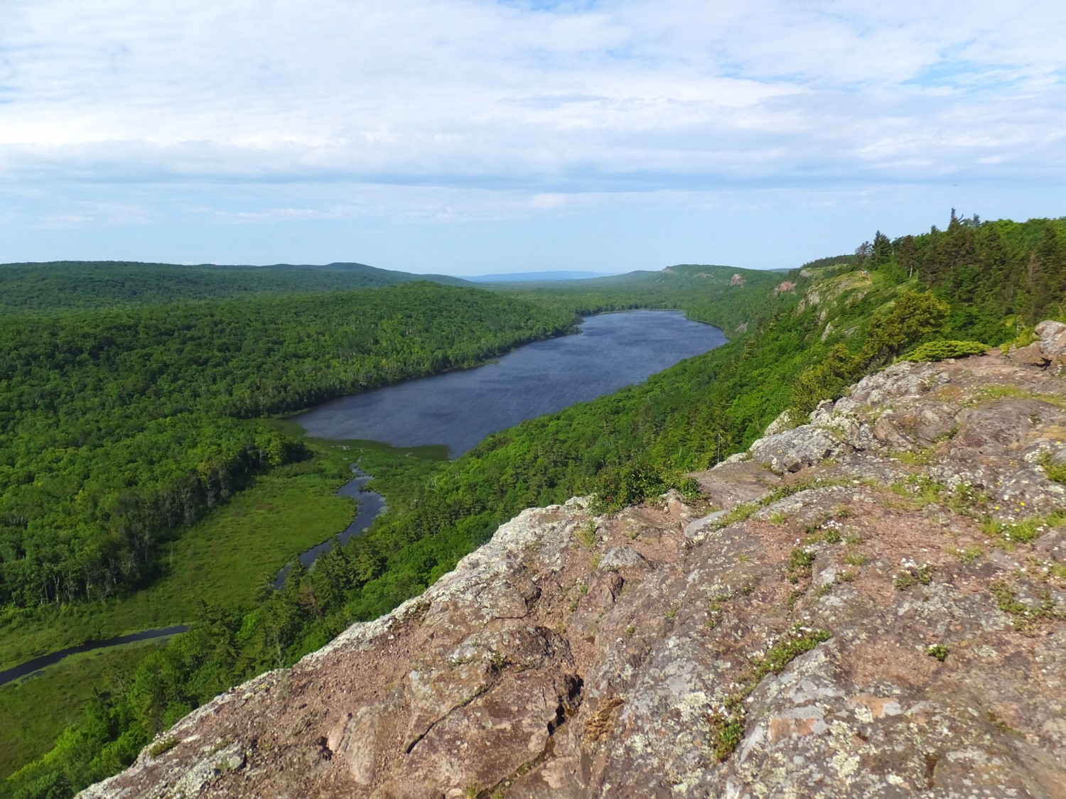
Photo Credit: Lake of the Clouds, MI by Ian M. McCullough.