Data Sources & Providers
LAGOS NE: LOCUS & GEO
- Multi-resolution Land Characteristics Consortium
- National Land Cover Database (NCLD)
- National Aeronautics and Space Administration (NASA)
- ENSO Precipitation Index (ESPI)
- National Atmospheric Deposition Program
- National Center for Atmospheric Research (NCAR)
- Hurrell North Atlantic Oscillation (NAO) Index
- Palmer Drought Severity Index (PDSI)
- PRISM climate group
- U.S. Census
- U.S. Fish and Wildlife Service
- National Wetlands Inventory Dataset (NWI)
- U.S. Geological Survey (USGS)
- Average annual runoff in the U.S., 1951-1980
- Baseflow index grid for the conterminous U.S.
- Estimated mean annual natural groundwater recharge in the conterminous U.S.
- National Anthropogenic Barrier Dataset (NABD)
- National Elevation Dataset (NED)
- National Hydrography Dataset (NHD)
- Surficial deposits and materials in the Eastern and Central United States
- Watershed Boundary Dataset (WBD)
LAGOS NE: LIMNO
- Acadia National Park, Maine
- Adirondack Lakes Survey (NY) summer surface chemistry data
- Adirondack Lakes Long Term Monitoring (NY)
- Biocomplexity: Coordinated Field Studies: Chemical Limnology
- Citizens Lake Monitoring Program
- Connecticut Department of Energy and Environmental Protection
- Department of Energy and Environmental Protection – Bureau of Water Protection and Land Reuse Lake Surveys
- Cross Lake Comparison: Zooplankton Biomass Study
- DEEP Lakes Grant Program Water Quality Assessment (CT)
- Grand Portage Band of the Lake Superior Chippewa Water Quality Program (MN)
- Hamilton-KBS lake chemistry, Michigan Kellogg Biological Station
- Illinois Environmental Protection Agency
- Ambient Lake Monitoring Program
- Indiana Clean Lakes Program and Indiana Volunteer Lake Monitoring Program
- Iowa Department of Natural Resources
- Watershed Monitoring and Assessment Program
- Lake Restoration Program
- Lac du Flambeau (WI) Water Resources lake water chemistry (2010-2012)
- Lakes of Missouri Volunteer Program
- Lake Wallenpaupack Water Quality Evaluation Program
- Water Chemistry
- Chlorophyll
- Landscape Position Project
- Chemical Limnology
- Chlorophyll
- Little Traverse Bay Band of Odawa Indians (LTBB)
- Water Quality Monitoring Program
- Maine Department of Environmental Protection
- Lake Monitoring and Assessment (1970s-2011)
- Massachusetts Department of Environmental Protection lake chemistry
- Massachusetts Department of Conservation and Division of Watershed Management Sampling Program
- Michigan Cooperative Lakes Monitoring Program
- Michigan Department of Environmental Quality
- Michigan’s Lake Water Quality Assessment Program
- Water Color Study
- Water Quality Sampling Program (MI-WQS)
- Michigan Leelanau Conservancy Lakes Program
- Michigan State University
- Cheruvelil (MI) dissertation project
- Landscape Position Project (2003)
- MI Sonar Project
- Minnesota Fond du Lac Lake chemistry database
- Minnesota Pollution Control Agency
- Lake Monitoring Program Chemistry
- National Surface Water Survey
- Eastern Lake Survey – Phase I & II
- New Hampshire Acid Rain Outlet Monitoring
- New Hampshire Acid Rain Remote Pond Monitoring
- New Hampshire Clean Lake Baboosic Lake
- New Hampshire Department of Environmental Services
- Watershed Management Bureau Volunteer Lakes Assessment Program
- New Hampshire Lake Trophic Survey
- New Hampshire Mirror Lake LTER water chemistry
- New Hampshire Volunteer Lake Assessment Program
- New Jersey Department of Environmental Protection
- Ambient Lake Monitoring Program
- New York Citizens Statewide Lake Assessment Program (NYCSLAP)
- New York City Department of Environmental Protection (NYCDEP)
- Catskill Reservoirs water quality
- New York State Lake Classification and Inventory (LCI) Monitoring Program
- North Temperate Lakes LTER
- Ohio Department of Natural Resources
- Division of Wildlife, Reservoir Productivity Assessment
- Ohio Miami University, Vanni/Gonzalez lake research lab
- Oneida Lake (NY) limnological summary for six standard sampling sites on Oneida Lake
- Paul Lake (MI) long-term reference lake in Cascade Project
- Pennsylvania Department of Environmental Protection
- PA Clean Lakes Program
- Randomly stratified survey of lakes in the Northern Highlands Lake District
- Seneca Lake (NY) epilimnion water chemistry
- Sentinel Lakes Monitoring Project
- The Big Platte Lake and Platte River Watershed Monitoring Program
- Tip of the Mitt Watershed Council
- Comprehensive Water Quality Monitoring Program
- Volunteer Lake Monitoring Program (1925-2011)
- University of Michigan Biological Station Research Applied to National Needs
- University of Missouri Statewide Lake Assessment Program chemistry data
- University of Rhode Island Watershed Watch (URIWW), RI: water quality monitoring, 1988-2010
- Upper Midwest Long-term Monitoring Program (MN, WI, MI)
- U.S. Army Corps of Engineers Rathbun Lake long-term chemistry data (1997-2012)
- U.S. Environmental Protection Agency (EPA)
- Environmental Monitoring & Assessment Program (EMAP) Surface Waters Program Northeast lakes water chemistry data
- Environmental Research Laboratory Duluth and University of Minnesota Duluth (ERLD-UMD) chemical survey of lakes in MN, MI, and WI
- Great Lakes National Program Office
- National Lakes Assessment water chemistry
- Regionalized Long-term Monitoring Program (RLTM) (started 1982)
- Temporally Integrated Monitoring of Ecosystems (TIME) Program (started 1999)
- University of Maine High Elevation Lake Monitroing (HELM) Program (1986-1987, 1997)
- University of Maine Aquifer Lakes Project (ALPS) (1986-1987, 1998-2002)
- USGS Shingobee Headwaters Aquatic Ecosystems Project (SHAEP)
- Vermont Department of Environmental Conservation water quality data
- Wisconsin Department of Natural Resources
- Water Quality Bureau
- Lake Landscape Survey
- Wisconsin Department of Natural Resources and Electric Power Research Institute: Wisconsin Early Response Lakes
- Wisconsin Forest County Potawatomi Community Water Resources Program for four lakes
LAGOS US: LOCUS & GEO
- CONUS-SOIL K-Factor
- Ehlers, Gibbard, Hughes: Quaternary Glaciations – Extent and Chronology Volume 15: A closer look
- Geographic Names Information System (GNIS)
- International Soil Reference and Information Centre (ISRIC)
- SoilGrids250m 2017-03
- Multi-resolution Land Characteristics Consortium
- National Land Cover Database (NCLD)
- National Atmospheric Deposition Program
- National Ecological Observatory Network (NEON)
- Natural Resources Conservation Service
- Major Land Resource Area (MLRA)
- PRISM climate group
- Average Annual Temperature and Precipitation datasets, 1981-2010
- Monthly Time Series Temperature and Precipitation datasets
- U.S. Census
- U.S. Department of Agriculture
- National Agriculture Imagery Program
- U.S. EPA
- Ecoregions of the Continental United States
- Environmental Monitoring and Assessment Program
- National Aquatic Resource Surveys
- National Lake Assessment (NLA 2007 & 2012)
- National Pollutant Discharge Elimination System
- Superfund Enterprise Management System
- U.S. Fish and Wildlife Service
- National Wetlands Inventory
- USGS
- Active Mines and Mineral Processing Plants in the United States in 2003
- Average annual runoff in the U.S., 1951-1980
- Bailey’s Ecoregions of the Conterminous United States
- Baseflow index grid for the conterminous United States
- Data Regarding Hydraulic Fracturing Distributions and Treatment Fluids, Additives, Proppants, and Water Volumes Applied to Wells Drilled in the United States from 1947 through 2010 (Data Series 868)
- Elevation Derivatives for National Applications Compound
- Estimated mean annual natural groundwater recharge in the conterminous United States
- National Elevation Dataset
- National Hydrography Dataset
- Protected Areas Database of the US
- Saturation overland flow estimated by TOPMODEL for the conterminous United States
- Terrestrial Ecosystems – Land Surface Forms of the Conterminous United States
- Terrestrial Ecosystems – Surficial Lithology of the Conterminous United States
- Topographic Index
- Water Quality Portal
- Watershed Boundary Dataset
- World Wildlife Fund
- Freshwater Ecoregions of the World
LAGOS US: LIMNO
- National Ecological Observatory Network (NEON)
- U.S. EPA
- National Lake Assessment (NLA 2007, 2012, & 2017)
- USGS – Water Quality Portal
LAGOS US: RESERVOIR
- Google Earth ™ Imagery
- U.S. Army Corps of Engineers
- National Inventory of Dams
- U.S. Department of Agriculture
- National Agriculture Imagery Program
LAGOS US: NETWORK
- USGS
- National Anthropogenic Barrier Dataset (NABD)
- National Hydrography Dataset, Medium Resolution (NHDplusV2)
LAGOS US: DEPTH
- DEEP Lakes Grant Program water quality assessment, CT, 1937-2006
- Hamilton-KBS lake chemistry, Michigan Kellogg Biological Station
- Healy, D.F. and Kulp, K.P. 1995. Water-Quality Characteristics Of Selected Public Recreational Lakes And Ponds in Connecticut
- Illinois Environmental Protection Agency
- Ambient Lake Monitoring Program
- Indiana Clean Lakes Program
- Iowa Department of Natural Resources
- Little Traverse Bay Band of Odawa Indians (LTBB)
- Maine Department of Environmental Protection
- Massachusetts Department of Environmental Protection
- Massachusetts Division of Fisheries and Wildlife
- Michigan Department of Environmental Quality
- Michigan’s Lake Water Quality Assessment Program
- Water Quality Sampling Program (MI-WQS)
- Michigan Department of Natural Resources
- Michigan State University
- Cheruvelil (MI) dissertation project
- MI Sonar Project
- Minnesota Pollution Control Agency
- Lake Monitoring Program Chemistry & Secchi
- Missouri Fishing Guide
- Navionics
- New Hampshire Volunteer Lake Assessment Program
- New Jersey Department of Environmental Protection
- Ambient Lake Monitoring Program
- New Jersey Lake Survey Map Guide: A Fishing Guide for All Seasons
- New York Citizens Statewide Lake Assessment Program (NYCSLAP)
- New York City Department of Environmental Protection (NYCDEP)
- New York State Lake Classification and Inventory (LCI) Monitoring Program
- North Temperate Lakes LTER
- Ohio Department of Natural Resources
- Division of Wildlife, Reservoir Productivity Assessment
- Oneida County, NY
- Pennsylvania Department of Environmental Protection
- South Dakota State University – OAK LAKE FIELD STATION®
- St. Louis County
- University of Wisconsin-Madison Long-Term Monitoring
- University of Rhode Island Watershed Watch (URIWW), RI: water quality monitoring, 1988-2010
- U.S. Army Corps of Engineers
- Marvin Boyer, Kansas City
- U.S. EPA
- Eastern Lake Survey – Phase I & II
- Environmental Monitoring and Assessment Program
- National Aquatic Resource Surveys
- National Lake Assessment (NLA 2007 & 2012)
- Vermont Department of Environmental Conservation
- Von Gruenigen, C. and Borowski, W.S., 2010. Heavy metal concentrations in water and surface sediments of Wilgreen Lake, Madison County, Kentucky.
- Wisconsin Department of Natural Resources
- Wisconsin Department of Natural Resources and Electric Power Research Institute: Wisconsin Early Response Lakes
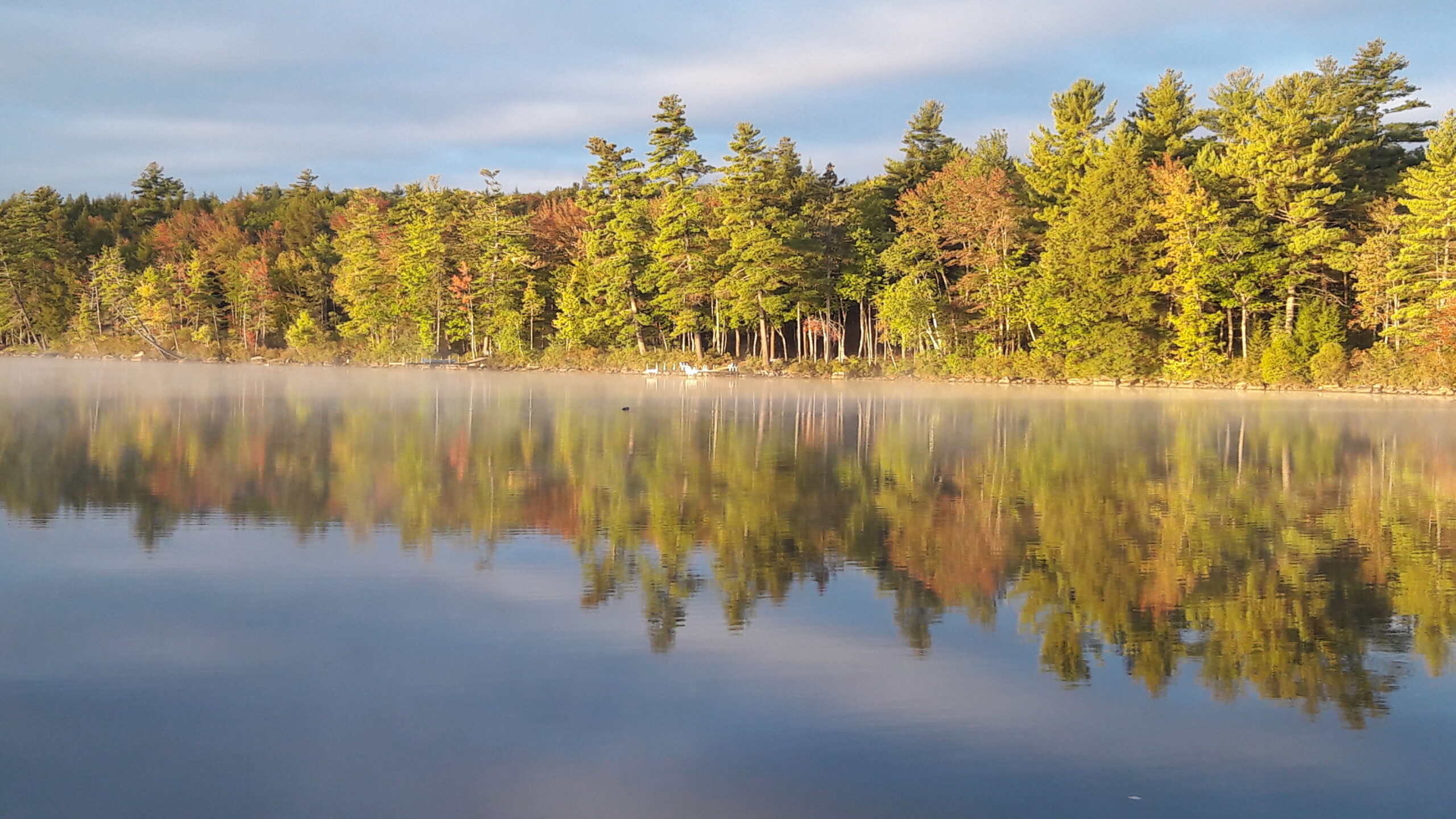
Photo Credit: Maine Lake by Kath Webster.